| Layer name | Affected-Population (GFM) |
| Tag | Flood |
| Folder | Eo Satellite |
| Source | GFM |
| Description |
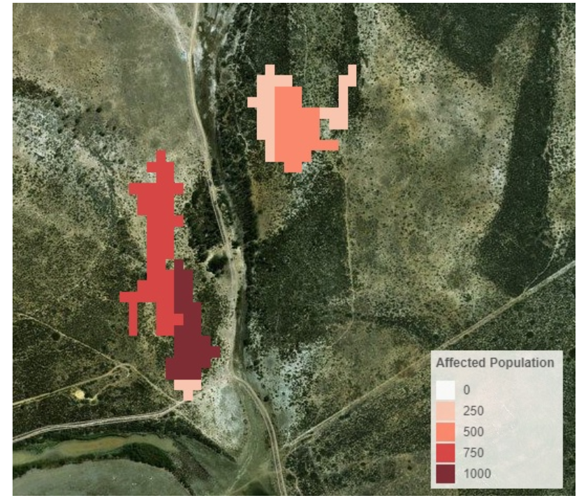
The information about the Affected Population will be extracted from the Global Human Settlement (GHS) Layer, in particular, from the GHS-POP dataset. This data contains a raster representation of the population's distribution and density as the number of people living within each grid cell. |
| Screenshot |
|
| Properties | |
| Available variables | Affected Population |
| Available accumulations | |
| Available interpolation algorithms | |
| Available filters | |
| Spatial aggregations |