| Layer name | Observed Water Extent (GFM) |
| Tag | Flood |
| Folder | Eo Satellite |
| Source | GFM |
|
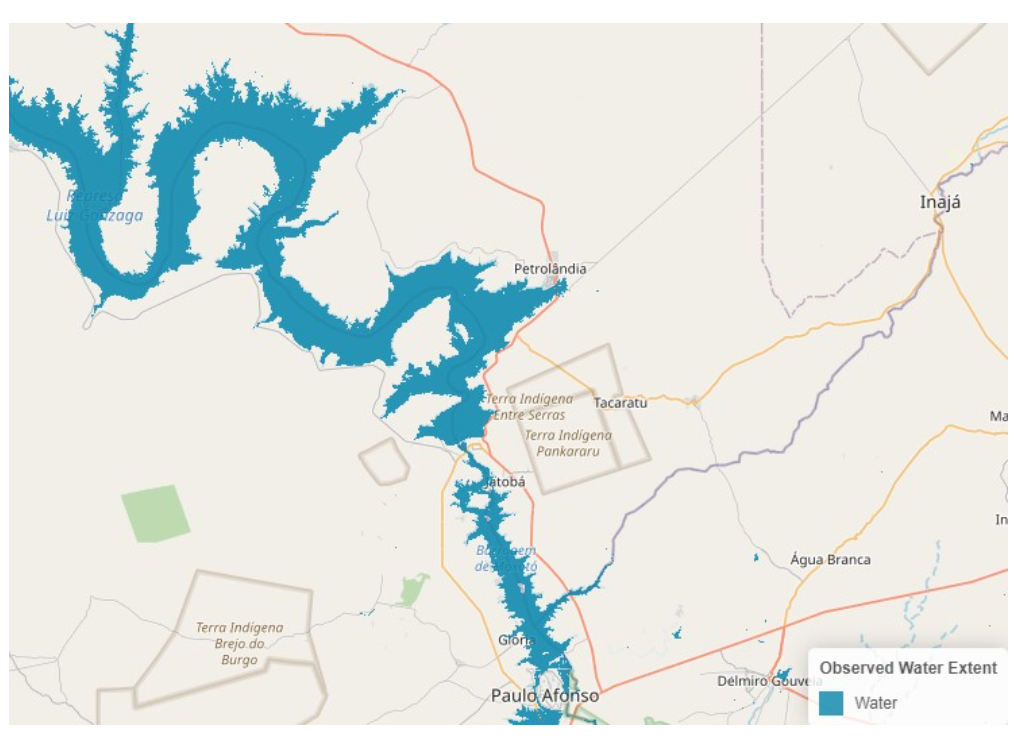
Description |
The Sentinel-1 Observed Water Extent identifies the pixels classified as open and calm water using Sentinel-1 SAR backscatter intensity and is derived using the ensemble flood mapping algorithm. To map water extent pixels for a certain date, the algorithm uses as input the Sentinel-1 data overpass plus offline-generated Sentinel-1 SAR parameters and auxiliary thematic datasets such as Exclusion Mask and topography(e.g. DEM and HAND index). |
| Screenshot |
|
| Properties | |
| Available variables | Observed Water Extent |
| Available accumulations | |
| Available interpolation algorithms | |
| Available filters | |
| Spatial aggregations |