| Layer name | VIIRS 1-day composite |
| Tag | Flood |
| Folder | EO Satellite |
| Source | Space Science and Engineering CenterUniversity of Wisconsin-Madison |
| Description |
The VIIRS 375-m Flood Product, is a near real-time product derived from daytime VIIRS imagery from Suomi-NPP and NOAA-20. The VIIRS Flood Map reflects the current flood status at the time of the overpass along with additional information on the weather and land conditions. Suomi-NPP and NOAA-20 are low earth orbiting satellites, which means only two daytime observations can be derived per day over a given Region of Interest (ROI) with a ~50 min interval. Observations are taken ~2-3pm local solar time. The latency of the product is about 3 hours after a pass is complete. |
| Screenshot |
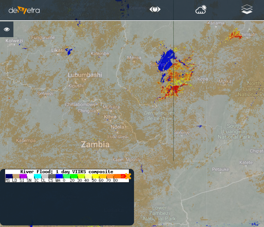
|
| Properties | |
| Available variables | 1-day persistency of flooding |
| Available accumulations | |
| Available interpolation algorithms | |
| Available filters | |
| Spatial aggregations |