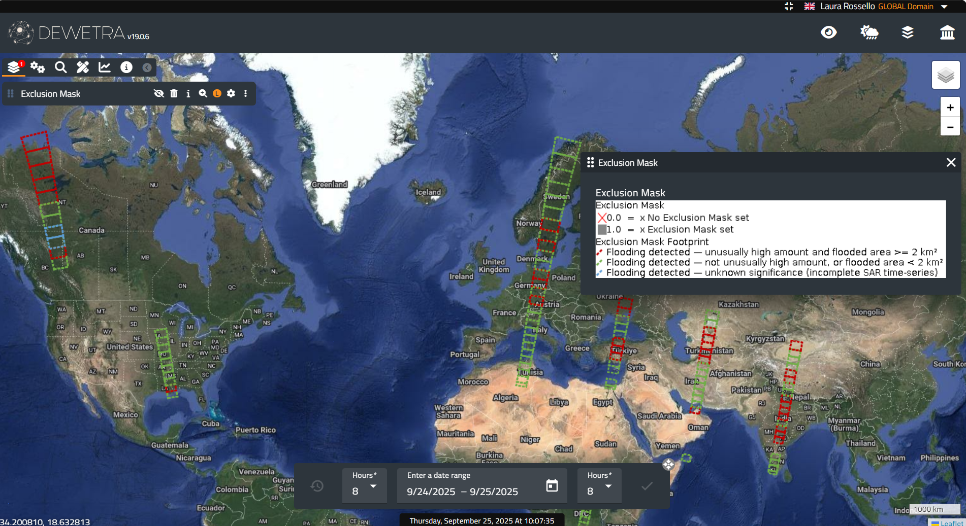
| Layer name | Exclusion Mask (GFM) |
| Tag | Flood |
| Folder | Eo Satellite |
| Source | GFM |
| Description |
The Exclusion Mask indicates the pixel locations where the SAR data could not deliver the necessary information for a robust flood delineation. It combines static effects leading to
For its generation, we implement the methods proposed in section 1, following the identified problems of SAR-based flood mapping. |
| Screenshot |
|
| Properties | |
| Available variables | Exclusion Mask |
| Available accumulations | |
| Available interpolation algorithms | |
| Available filters | |
| Spatial aggregations |