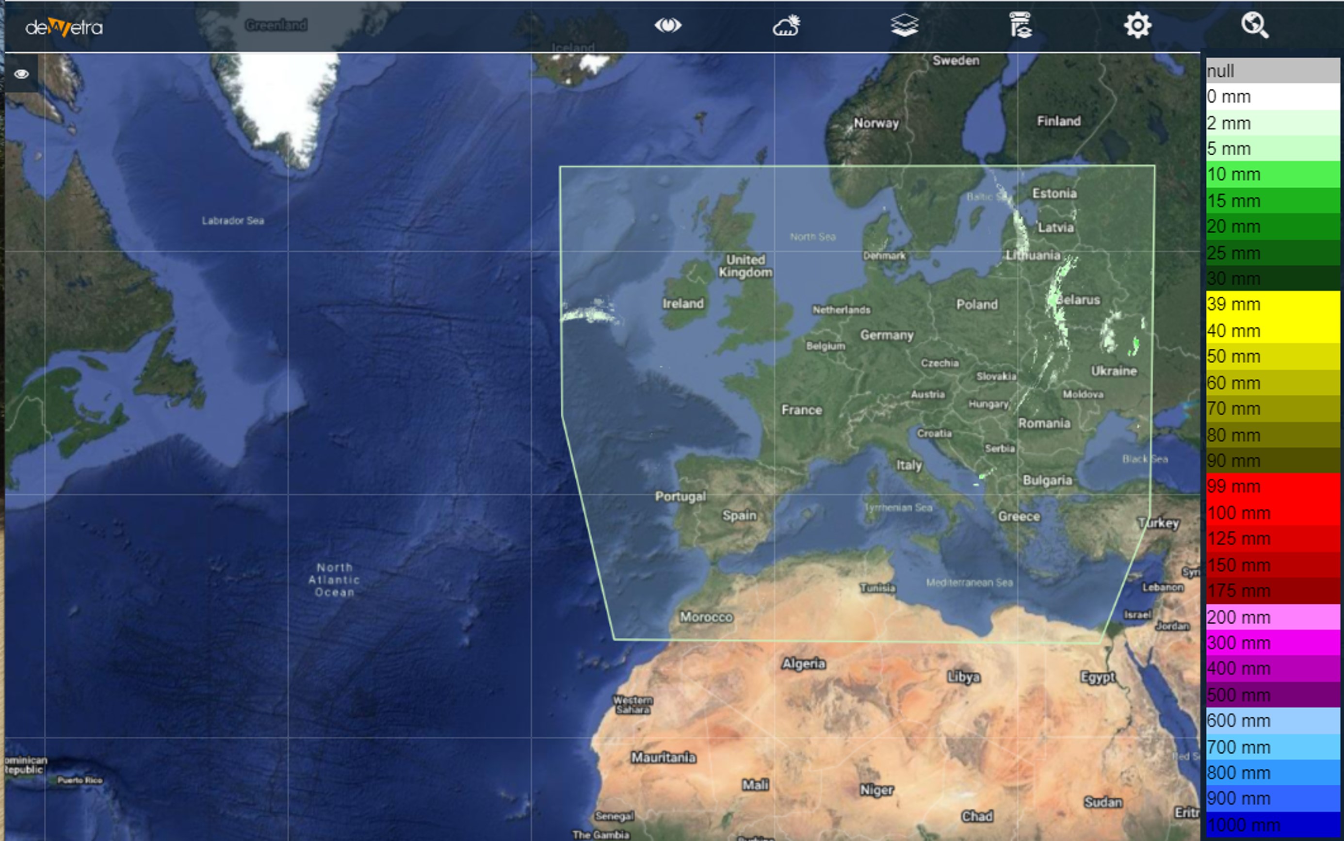
| Layer name | PR OBS 5 - H05 |
| Tag | Rain |
| Folder | |
| Source | EUMETSAT-HSAF |
| Description |
Derived from precipitation maps generated by merging MW images from operational sun-synchronous satellites and IR images from geostationary satellites (i.e., products PR-OBS-3 and PR-OBS-4). Presented in polar stereographic projection. Coverage: The rectangular area of the stereographic projection that includes the H-SAF area [25-75°N lat, 25°W-45°E long] More info at: PR OBS5 H05 documentation on line |
| Screenshot |
 |
| Properties | |
| Available variables | Rain depth |
| Available accumulations | 1, 3, 6, 12 and 24 hours |
| Available interpolation algorithms | |
| Available filters | |
| Spatial aggregations |